| Name | Last modified | Size | Description | |
|---|---|---|---|---|
| Parent Directory | - | |||
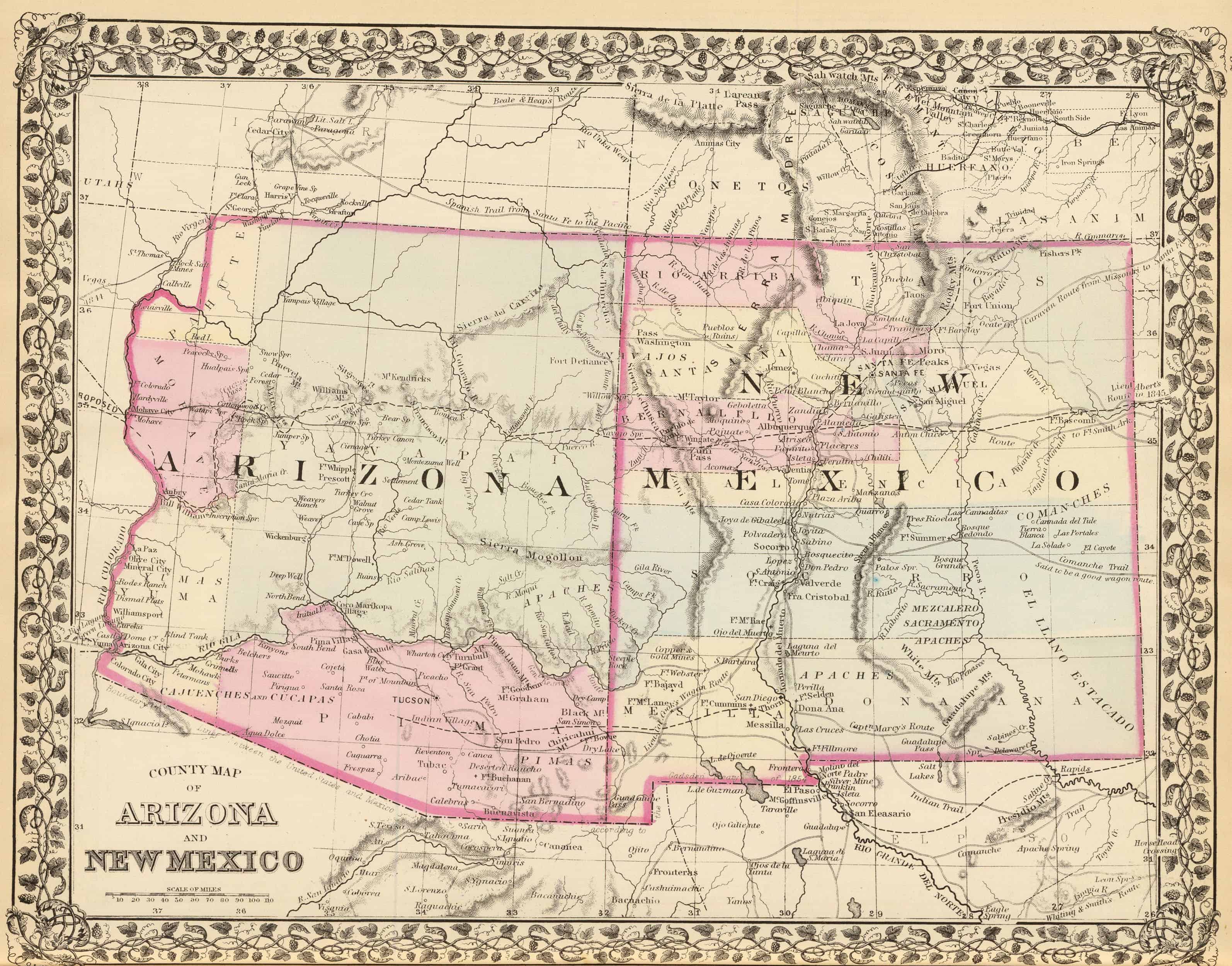
| 1880-State-and-County-Map-of-Arizona-and-New-Mexico.jpg | 2020-05-04 12:08 | 749K | ||
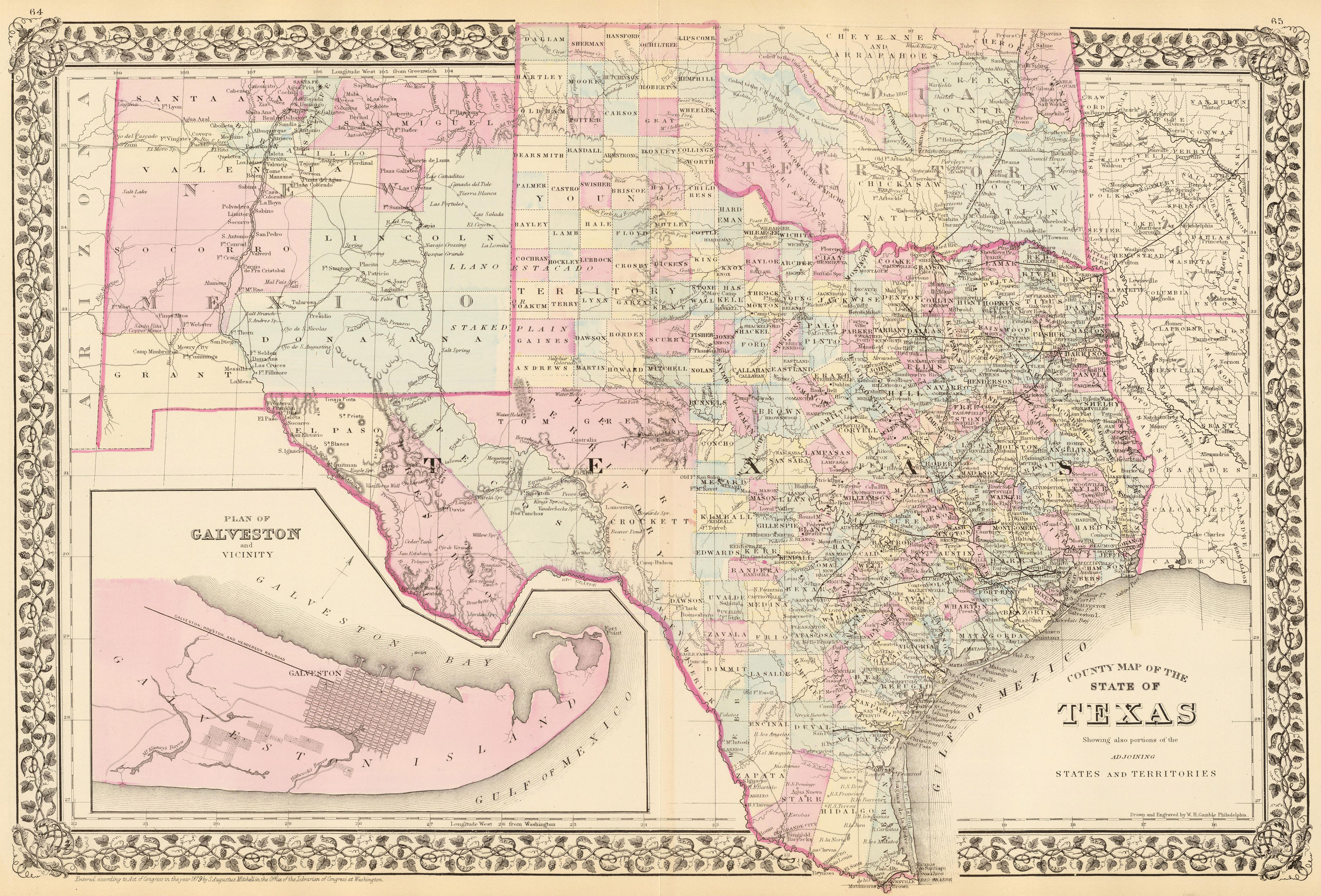
| 1880-State-County-and-Township-Map-of-Texas-also-Showing-portions-of-the-adjoining-states-and-territories-with-Plan-of-Galveston-and-vicinity.jpg | 2020-05-04 12:19 | 2.8M | ||
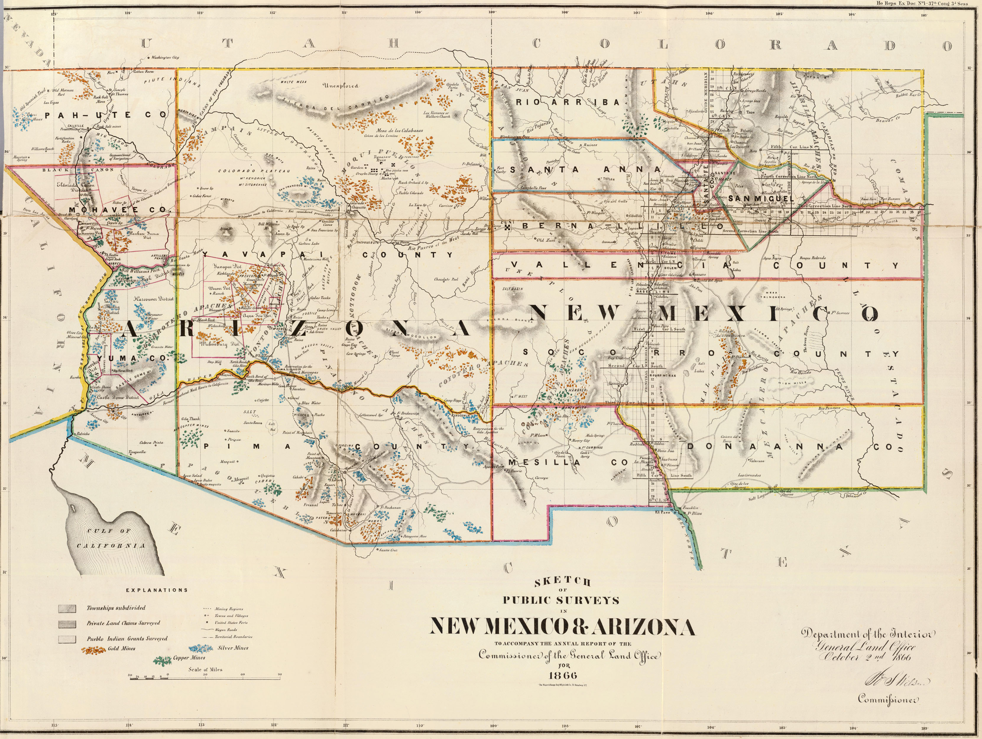
| 1866-Map-of-Arizona-and-New-Mexico-Public-Survey-Sketches-by-the-Department-of-Interior-Land-Office.jpg | 2020-05-04 12:08 | 1.4M | ||
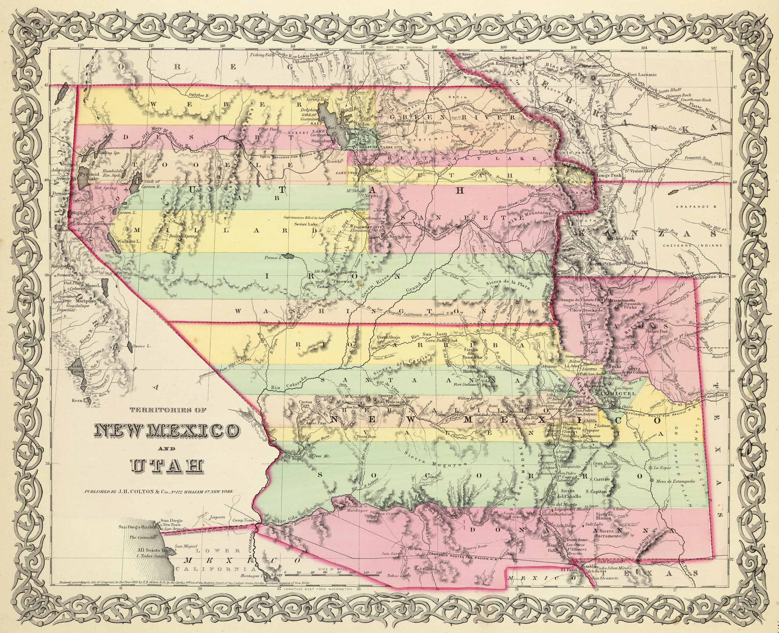
| 1856-Map-of-New-Mexico-and-Utah-Territories.jpg | 2020-05-04 12:02 | 748K | ||
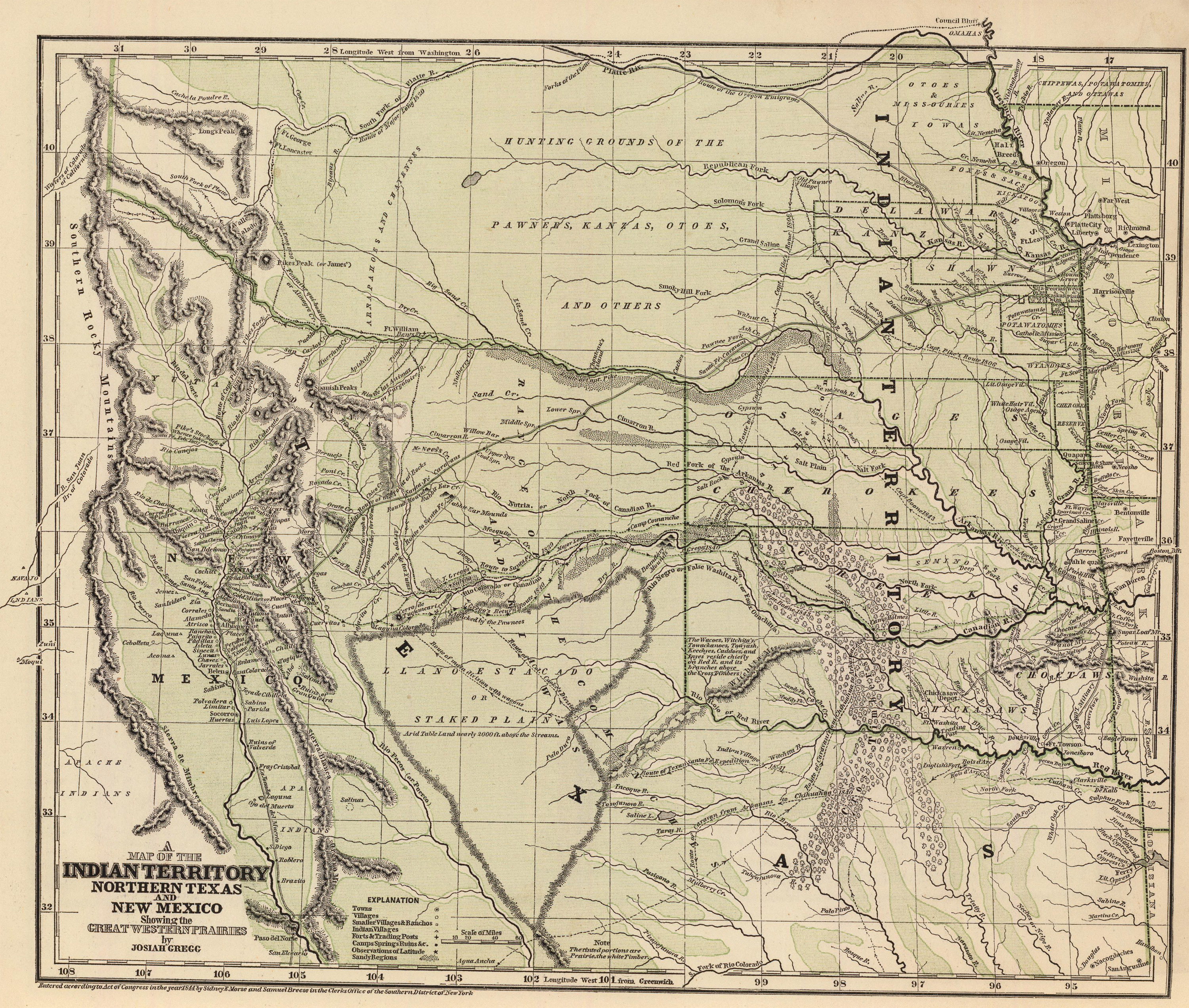
| 1845-Map-of-the-Indian-Territory-northern-Texas-and-New-Mexico-showing-the-great-western-prairies.jpg | 2020-05-04 12:18 | 2.7M | ||
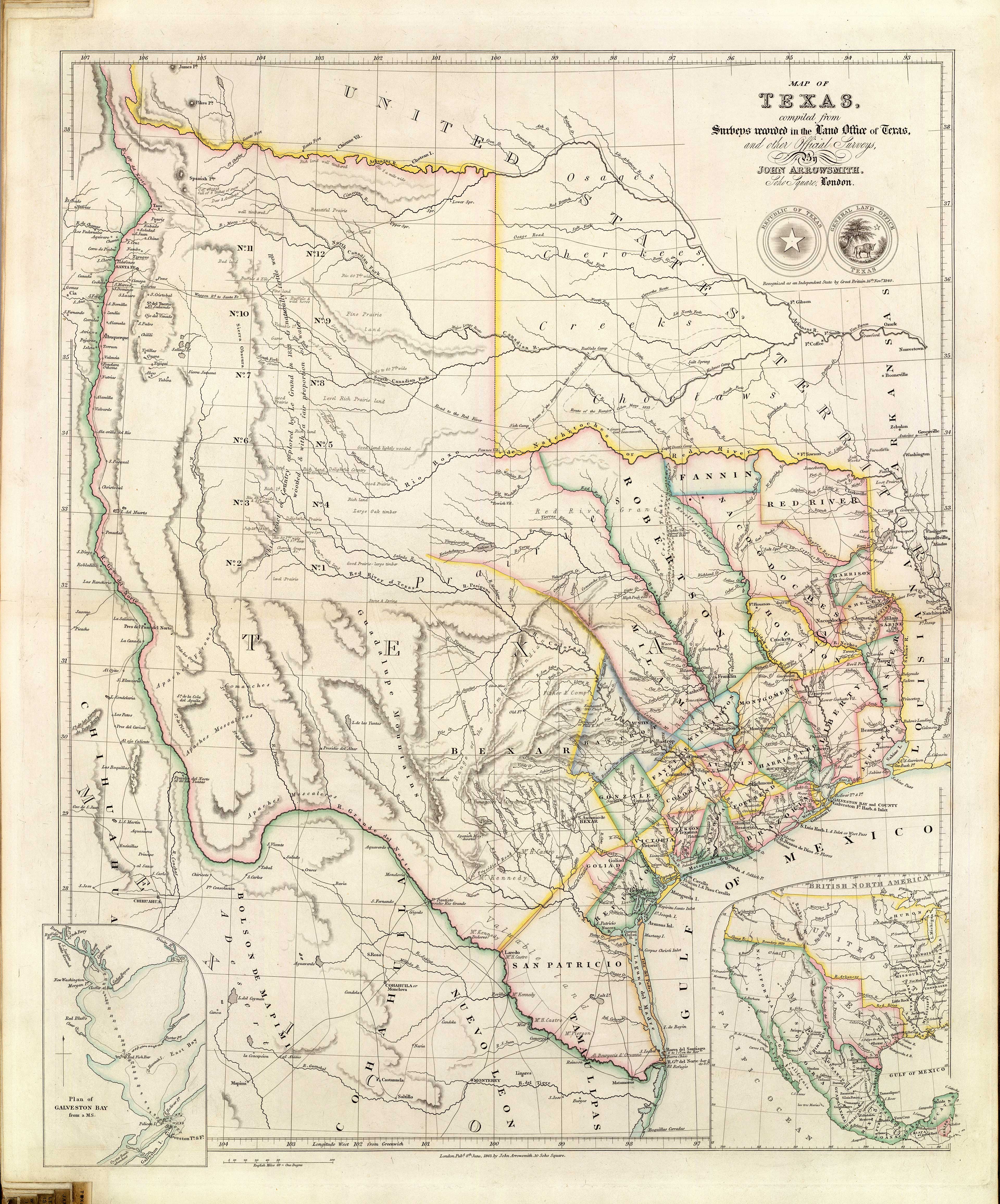
| 1844-State-Map-of-Texas.jpg | 2020-05-04 12:18 | 2.6M | ||
| 1837-State-Map-of-Texas-on-the-eve-of-Independence.jpg | 2020-05-04 12:15 | 1.3M | ||
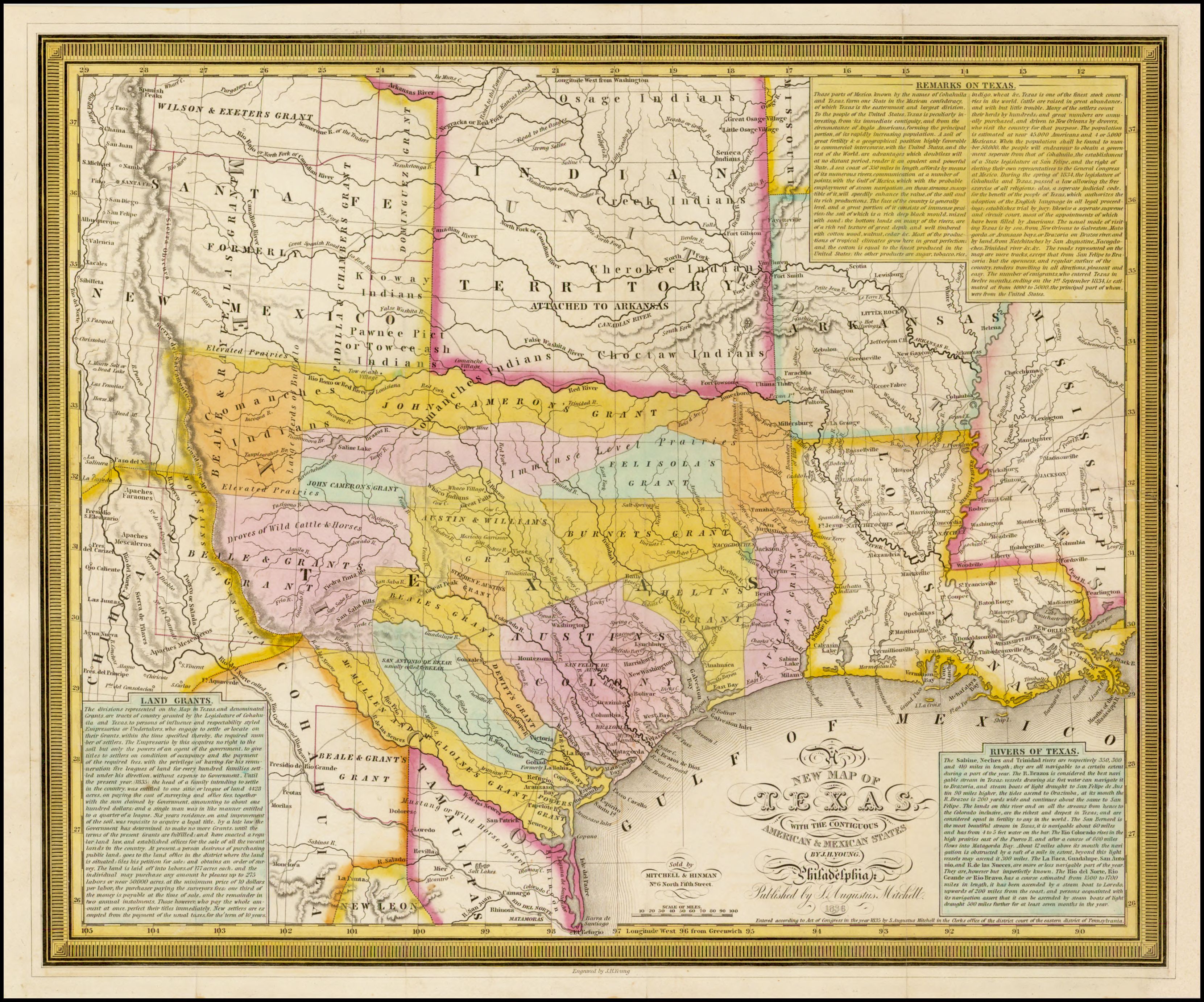
| 1836-State-Map-of-Texas-with-the-Contiguous-American.jpg | 2020-05-04 12:14 | 1.6M | ||
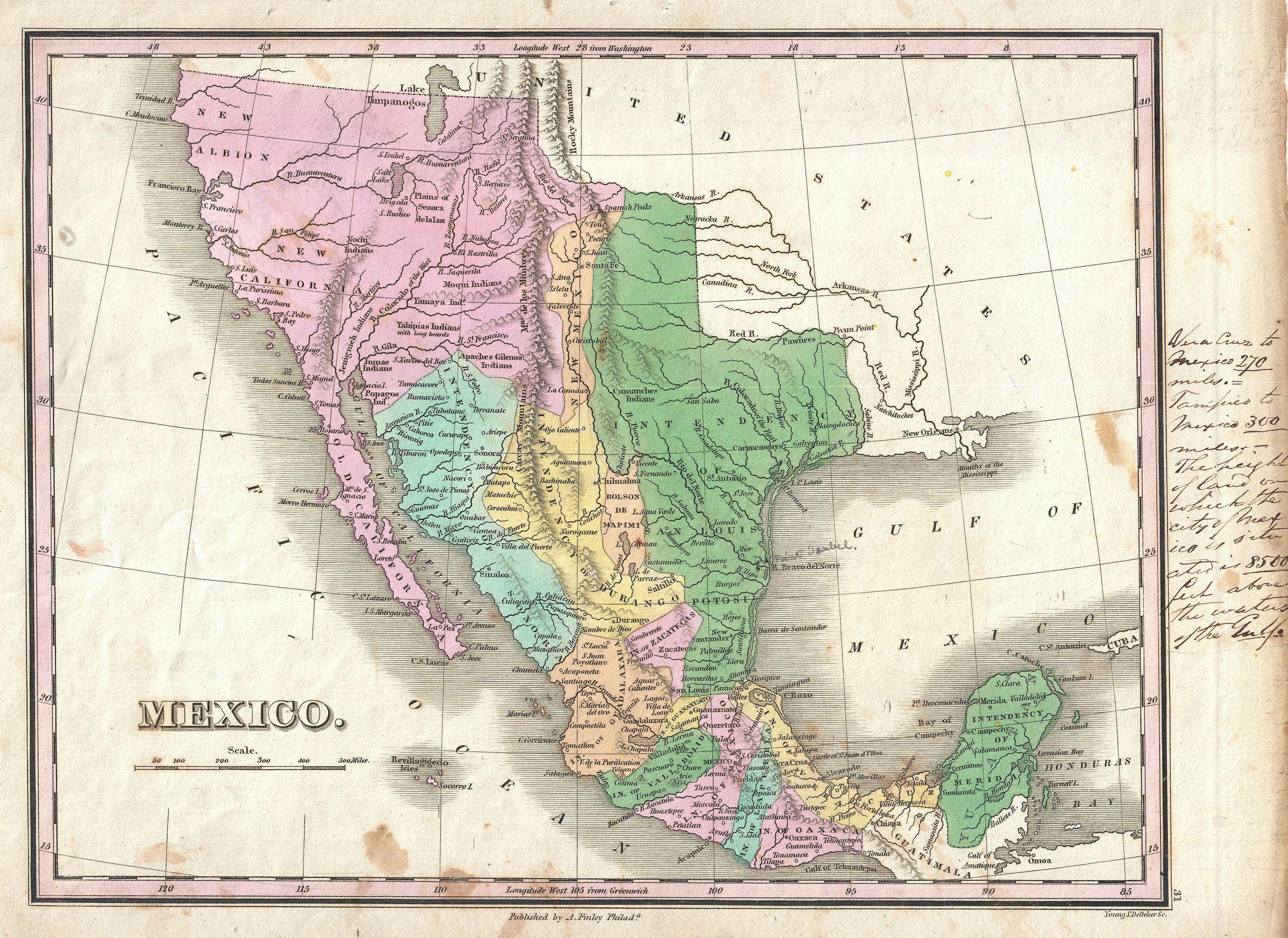
| 1827-Map-of-Mexico-including-Texas-and-Upper-California.jpg | 2020-05-04 12:12 | 1.6M | ||